top of page
Drone Scanning
Multiple drone photos are merged into precise digital maps and 3D files, creating reliable data for tracking project progress and assisting master planning.


Drone Photography & Video
Professional 4K drone footage and high-spec stills for data-driven site analysis, build oversight and commercial planning.
What We Capture
- Buildings, roofs and façades
- Construction sites and earthworks
- Infrastructure and transport corridors
- Large commercial and industrial sites
- Schools and campuses
- Landscapes and surrounding site conditions
Our Deliverables
- Orthomosaic imagery and aerial site plans
- 3D site and terrain models
- High-resolution aerial photography
- 4K drone video
- Progress imagery and site condition records
- Digital survey-style outputs
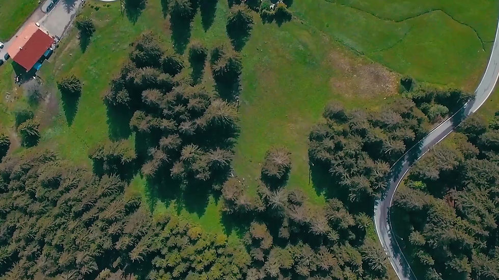
Real-World Uses
- Construction progress monitoring
- Existing-condition records
- Site planning and feasibility
- Development documentation
- Roof inspections and maintenance planning
- Asset management and insurance records
- Marketing visuals and project completion records
- Asset Management
- Insurance Records
- Project Completion Records

Progress Monitoring
Scheduled drone flights build a visual history of your site, enabling you to track development, compare stages, and provide clear progress reports.
Digital Site Records
Build a lasting visual history that simplifies property upkeep, guides smart renovations, and provides reliable data for every future site project.

Who It’s For?
Developers
Architects
Engineers
Property Managers
Asset Managers
Contractors
Councils
bottom of page